© copyright notice ||| français ||| italiano
==============================================================
2.5.#1
This page is dedicated to recordings made on July 21, 2010.
Lusenzo 2010-07-21 t.u. 0700 a t.u. 0746 - point d.
Lusenzo 2010-07-21u0700: moon declination: south 24°05; Moon distance km 388132ca; moon angular velocity 140.17 deltins/hr; variation +0.02 sec/hr.. Water level cm +46.
The assumed critical velocity must have occurred shortly before (deltas 139.4/hr).
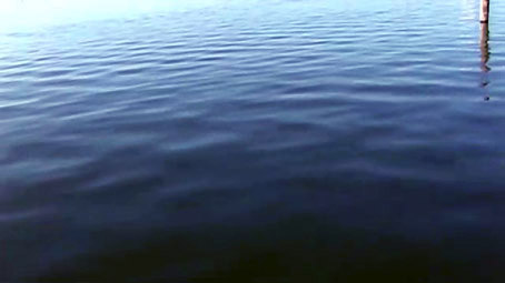
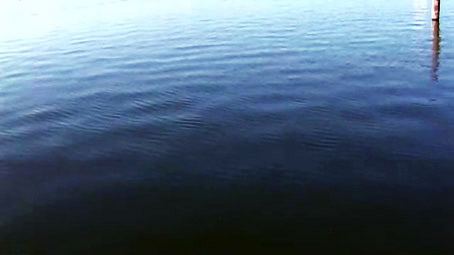
Lusenzo 2010-07-21 u0702
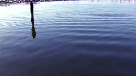
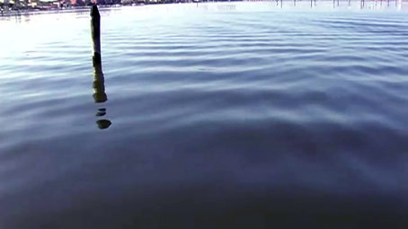
Lusenzo 2010-07-21 u0711
Lusenzo 2010-07-21u0711; Moon declination sud 24°05; Moon distance km 388132; moon angular velocity deltins 140,2 /hr; With respect to the reference, water level cm +48.
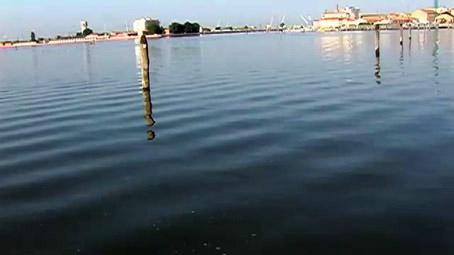
In the example below, you can see areas affected by different types of water figures, from which the different depths can also be deduced.
Lusenzo 2010-07-21 u0741
Lusenzo 2010-07-21u0741: moon declination: south 24°05; Moon distance km 388132; Water level: cm 48.
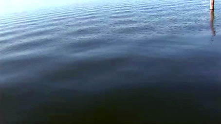
Lusenzo 2010-07-21 u0744
Lusenzo 2010-07-21 u0746